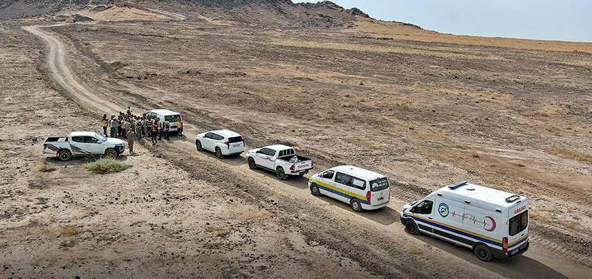
The Jabal Kawkab area, east of Al-Hasakah city, has witnessed an unusual phenomenon: the emission of dense white vapors from fissures scattered across the terrain. Jabal Kawkab is a volcanic area featuring eruptions that date back to the Late Quaternary period; the mountain itself is one of the region's volcanic cones, with its rock formations resting upon alluvial and fluvial deposits from the Upper Quaternary—and, in some areas, the Miocene and Pliocene epochs.
Field Observations:
During the site inspection, the committee identified an old waste dump situated between two volcanic rock formations; part of the dump had been covered with loose, heterogeneous earthen berms. The committee also observed signs of recent burning—specifically of plastics and rubber tires—along these berms, as well as cracks in the loose soil within the site. No gas emissions or distinctive odors (such as methane [CH4] or hydrogen sulfide [H2S]) were detected in the area. Possible hypotheses regarding the origin of these emissions:
Hypothesis 1: Deep-seated gas emissions via faults driven by seismic activity:
Fractures can act as permeable conduits allowing the ascent of gases—such as radon and others—trapped within rock pores at depth. This typically occurs during major earthquakes or shifts in stress fields. However, this hypothesis is considered unlikely for the area in question, as no major earthquakes have occurred there capable of altering stress fields or creating fractures and fissures in the rock strata. Furthermore, there is no link to the earthquake that struck Şanlıurfa, southeastern Turkey, on September 24, 2026 (at 07:40:56 UTC / 10:40:56 local time; coordinates N37.750, E38.906; magnitude Ml=5.3), which was located 203 km away from Mount Kawkab.
Regarding aftershocks, Bath's Law dictates they would have a magnitude lower than 4.3 and could persist for several weeks. Given that this moderate-magnitude earthquake had a triggering radius of only 79 km—while the site in question lies 203 km away—and considering that other earthquakes recorded in the eastern region by our national seismic monitoring network this year were of low magnitude (with triggering radii under 20 km and distances of 174 km from the Kawkab area), we rule out tectonic or seismic activity as the cause of these gas emissions. Hypothesis 2: Gas emissions originating from groundwater:
Water seeps from aquifers through fractures and faults to greater depths; upon heating, vapors and gases—such as water vapor (H2O)—are released and rise toward the surface due to the drop in pressure.
Hypothesis 3: Emission of organic (hydrocarbon) gases:
This occurs in areas containing organic (hydrocarbon) deposits, leading to surface gas emissions—such as methane (CH4)—through fractures and fissures.
Hypothesis 4: Gas emissions resulting from human activity:
This arises from the burning of waste at landfill sites or from anthropogenic geological activity.
This is the most likely hypothesis for the gas emissions in the area, given the presence of a landfill that was buried under raised earthen berms. Based on field observations and an analysis of the area's geological, structural, tectonic, and seismic conditions, the observed emissions are likely attributable to human activity. This conclusion stems from the presence of a landfill covered by earthen berms—containing heterogeneous buried materials—and evidence of recent burning in the area. Seismic and tectonic factors are considered unlikely causes, as the region has not experienced significant tremors capable of fracturing surface layers. Regarding other potential causes, toxic gas analysis by the hazardous materials team yielded negative results, indicating no abnormal emissions; similarly, geophysical survey data from the General Establishment for Geology revealed no fissures or fractures that could serve as pathways for vapor emissions.